


Le Tréport

aout60
User

Length
11.6 km

Max alt
14 m

Uphill gradient
59 m
Km-Effort
12.4 km

Min alt
-2 m

Downhill gradient
60 m
Boucle
No
Creation date :
2023-08-08 18:36:14.187
Updated on :
2023-08-09 09:15:30.902
14h37
Difficulty : Difficult

FREE GPS app for hiking
 SityTrail
IGN / Geographical institutes
SityTrail Plus
The world is yours!
About
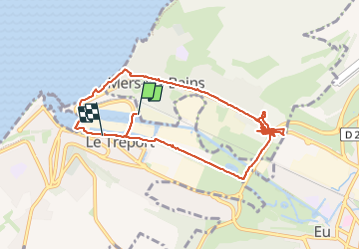
Trail Walking of 11.6 km to be discovered at Normandy, Seine-Maritime, Le Tréport. This trail is proposed by aout60.
Positioning
Country:
France
Region :
Normandy
Department/Province :
Seine-Maritime
Municipality :
Le Tréport
Location:
Unknown
Start:(Dec)
Start:(UTM)
384471 ; 5546778 (31U) N.
Comments